
Location of where we will meet: Parking area at 24411 Coleman Fish Hatchery Rd, Anderson, CA 96007 – Drop Pin Coleman Fish Hatchery – Walking distance total estimated at 2.5-3 miles (4-5 km). We will walk through sections of the fish hatchery and exit at the west gate to enter Battle Creek Salmon Trail. This 1.4-mile path will provide great access around ponds and views along Battle Creek with exceptional sections of riparian habitat. We will quickly enter Battle Creek Wildlife Area where we will join the Oaktree Trail for an additional 1.2-mile walk through large tracts of oaks, willows, and many other native and non-native plants and trees. Under ideal conditions, we should see many waterbirds, raptors, and passerines within this 582-acre area of exploration. One vehicle will be staged at parking area of Battle Creek Wildlife Area, and drivers will be shuttled back to Coleman Fish Hatchery parking lot and pick up others at the end of our walk. We will reschedule if rained out. Trip Leader: Dan Bye, contact me by danbye56@gmail.com for more information.

Always wanted to learn more about birds but not sure where to start? Join Shasta Birding Society for a family and beginner friendly bird walk at the benches by the Sundial bridge at 9 am to walk the Turtle Bay Sanctuary Trail and discover the hidden world of birds all around us! The trail is wheelchair accessible and benches are found throughout. The walk will last about 2 hours. Field guides and binoculars are provided. Join our program chair, Katherine Larson, and Stephanie Hughes, our education chair, as we take a leisurely one mile walk along the Turtle Bay Sanctuary Trail. This walk will begin at the south end of the Sundial Bridge and take us along the Sacramento River to view waterfowl and possibly gulls, egrets and herons. One of the best attributes of this trail is that we cannot only enjoy the excellent views along the river, on the other side of the trail we will be able to find several species of songbirds. Raptors are common in the area, including the Bald Eagle and Osprey. Park in the Turtle Bay Parking Lot. Rain cancels. Want more information? Contact Katherine at katherinelarson01@gmail.com

We are scheduling our first 2025 Saturday visit to the ponds targeting waterfowl, shorebirds and wintering passerines. Assemble at the Treatment Plant’s Administration Building at the end of Metz Road at 8:00 am sharp to meet your leader, Larry Jordan. This is a 1/2-day trip that may end in the early afternoon if the birding is good. Directions to the Clear Creek Plant: Take Hwy 273 south, after crossing Clear Creek and past the Win-River Casino, take the second left turn at River Ranch Road and cross over the railroad tracks. Turn left on Eastside Rd. Entrance is at 2200 Metz Road on the right. Rain cancels. Questions contact webmaster@shastabirdingsociety.org
Our plan is to meet at Coleman Fish Hatchery parking lot and work our way to Battle Creek Salmon Trail on the west of hatchery. This 1.4-mile path will provide great access around ponds and along Battle Creek with exceptional sections of riparian habitat. We will quickly enter Battle Creek Wildlife Area where we will join the Oaktree Trail for an additional 1.2-mile walk through large tracts of oaks, willows, and many other native and non-native plants and trees. With recent wet seasonal weather patterns these past few weeks, we should have ideal conditions for many waterbirds, raptors, and passerines within this area of 582 acres to explore.
The place to meet is 24411 Coleman Fish Hatchery Rd, Anderson, CA 96007, pin drop: https://maps.app.goo.gl/ndVyEXHLRACygV9C9
We will stage vehicle(s) at Battle Creek Wildlife Area, so we can transport drivers back to Coleman Fish Hatchery parking lot and pick up others at the end of the outing. We will reschedule if rained out. Contact me at danbye56@gmail.com with questions.
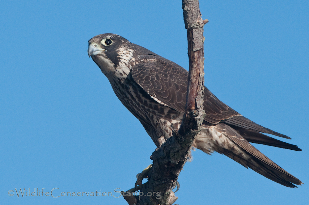
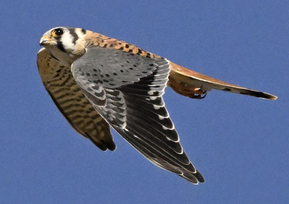
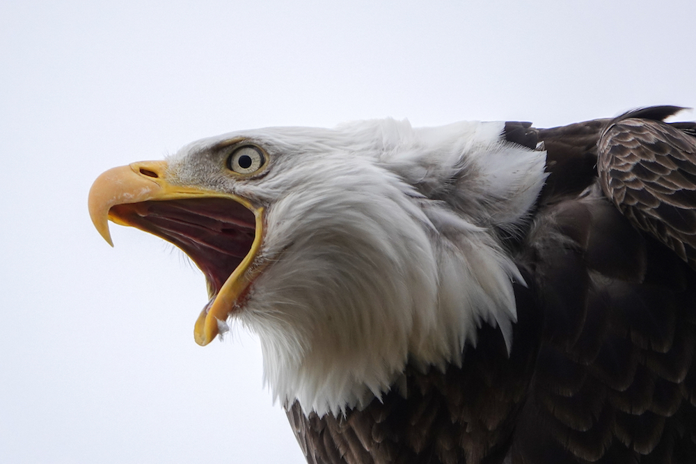
Join us for a 3.5-mile easy birding hike at the Iron Canyon trail on the Sacramento River Bend in northern Tehama County. The trail is on the Tuscan Formation, a vast and ancient volcanic flow that carried volcanic rocks and boulders from the Cascade Mountains down toward the northeastern part of the Central Valley. Due to the mixture of rocky grasslands, oak and juniper woodlands, and high canyon cliffs overlooking the Sacramento Valley and the surrounding mountain ranges, the landscape is home to a
fascinating array of birds. We may expect to see any or all of 4 falcon species: Peregrine Falcon, Prairie Falcon, Merlin, and American Kestrel. Other species likely to be encountered are Lewis’s and Acorn Woodpecker, Western Meadowlark, Horned Lark, Rock Wren, American Pipit, Western or Mountain Bluebird, Bald or Golden Eagle. Stay a bit longer after the hike, and we will bird at Hog Lake for waterfowl, just a 2-minute drive up the road.
Meet at the Iron Canyon trailhead at 7:15 am. The hike is easy but due to the rocky terrain, please wear sturdy hiking shoes.
GoogleMaps link: https://maps.app.goo.gl/3DzLjyJu7vsPvj4x6
Directions from Red Bluff: From Highway 99, take Highway 36 East toward Susanville/Lassen Volcanic National Park. Continue for 5.2 miles until you reach the gravel parking lot on the left.
