![]()
Sunday December 1st, 2024
8:00 am – Noonish
Come join us for something a little different on Sunday. The Sacramento-Shasta Chapter of The Wildlife Society and The Shasta Birding Society are hosting a collaborative field trip at Kum Bay Xerel along the Sacramento River in South Redding. With the help of expert wildlife trackers, you can learn how to search for, and identify, tracks and sign found in nature. We will also be birding along the way as usual. Anyone interested in birds or learning about wildlife tracks is welcome.
The Sac-Shasta Chapter of TWS is a chapter of the Western Section of The Wildlife Society, and is comprised of over 300 active members throughout 23 counties in the Sacramento Valley and the interior mountainous region of Northern California. Founded in 1937, the Wildlife Society’s mission is “To inspire, empower, and enable wildlife professionals to sustain wildlife populations and habitats through science-based management and conservation.” The Wildlife Society enhances their members’ networking and learning opportunities, professional and career development, and provides numerous ways for them to get more involved in creating a better future for wildlife and their habitats. Nationwide, its members include nearly 10,000 wildlife managers, biologists, ecologists, and students.
Learn more about the Sac-Shasta Chapter of TWS here
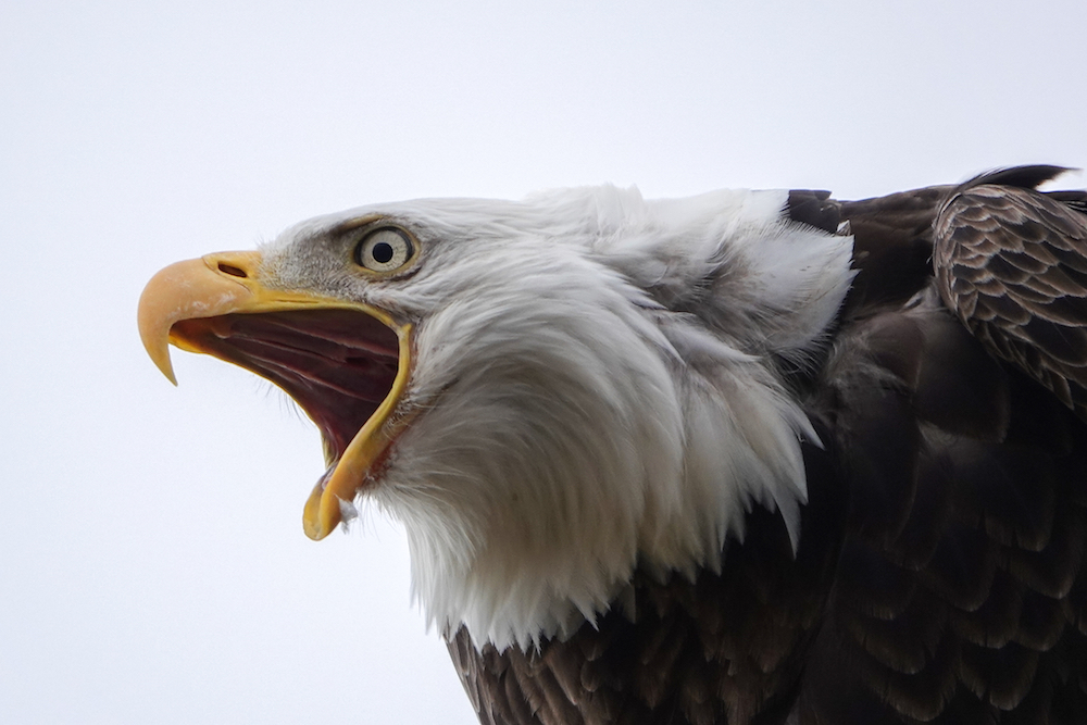
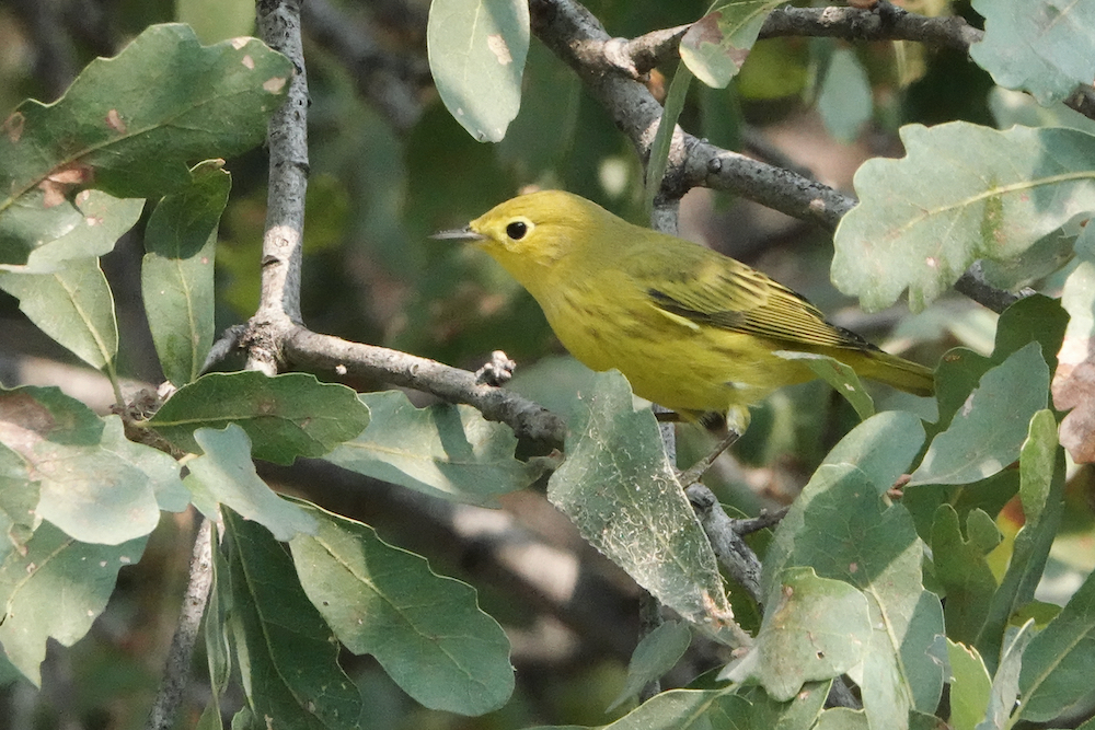
Meet at the Parking Lot at 8:00 am. The parking lot is on Riverland Drive, about ½ mile south of Knighton Road off of I-5 exit #673, in South Redding. The first ¾ mile of the trail is paved and is great for birding along the river bank. There is an additional mile of dirt trails on adjacent BLM land where we will do most of the tracking. Expect wintering waterfowl on the water and many songbird species along the lush wooded riparian corridor, as well as raptors, including eagles, soaring overhead. Bathrooms are available in the parking lot.GoogleMaps link: Kum Bay Xerel


