Tag Archives | raptors

Gray Lodge Wildlife Area

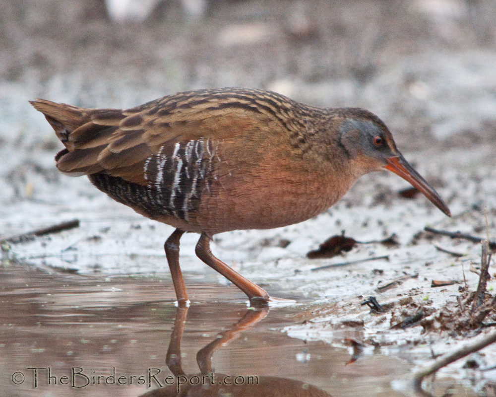
Gray Lodge’s diversity and location along the Pacific Flyway make it a haven for wildlife. Surrounded by miles of rich agricultural lands, the approximately 9,100-acre area is managed for the wildlife that call Gray Lodge home for all or part of the year. Reflective ponds, grassy fields and wooded riparian areas provide food, water and shelter for more than 300 species of resident and migrant birds and mammals. Meet at the Kutras Park parking lot at 6:30am sharp to carpool or at parking area 14 at the refuge at 8:30am. Bring a lunch and water as this is an all day event. It is not unusual to see over 50 species of birds at this location and is the only place I know to commonly find all three “Teals”. We will traverse the walking trail around the ponds, to the viewing platform and back to the parking lot. Following lunch we will drive the auto tour loop. Questions? Contact Larry Jordan at webmaster@shastabirdingsociety.org

Gray Lodge Public Access Map

CDFW Lands Pass must be in possession by each visitor who is 16 years of age or older, however, visitors who are in possession of a valid California hunting or fishing license in their name are exempt from this requirement. Lands passes may be purchased on-line, by phone at (800) 565-1458, or in-person at locations wherever hunting and fishing licenses are sold. They are also available in the parking area at Gray Lodge for $4.50. Here is a link to the bird list: https://nrm.dfg.ca.gov/FileHandler.ashx?DocumentID=88006&inline

0

Churn Creek Open Space

Let’s go birding! Whether you are a seasoned birder or are newly interested and curious about birds, our friendly group will guide you on an easy walk through one of Redding’s largest open spaces. The trails along Churn Creek feature gently rolling hills with oaks and pines, open grasslands, and a lush creekside along the length of the area. 

Meet at the Parking Lot at 7:30 am. The parking lot is on the corner of Tidmore Ln. and Dakota Way, just south of College View Dr. The path is gravel and dirt. There are 2 loops to the trail, both about 1.5 miles, for a total of about 3 miles. We encourage everyone to go the distance with us, but you are, of course, free to cut out when you need to. Please dress in Iayers, and bring sun protection, water, and a light snack for yourself. The closest bathrooms at Lema Ranch or the Student Marketplace on College View Dr.

GoogleMaps link: Churn Creek Trail Parking

0

Coleman Fish Hatchery/Battle Creek Wildlife Area Walk

Location of where we will meet: Parking area at 24411 Coleman Fish Hatchery Rd, Anderson, CA 96007 – Drop Pin Coleman Fish Hatchery 

Walking distance total estimated at 2.5-3 miles (4-5 km)

We will walk through sections of the fish hatchery and exit at the west gate to enter Battle Creek Salmon Trail. This 1.4-mile path will provide great access around ponds and views along Battle Creek with exceptional sections of riparian habitat.

We will quickly enter Battle Creek Wildlife Area where we will join the Oaktree Trail for an additional 1.2-mile walk through large tracts of oaks, willows, and many other native and non-native plants and trees. Under ideal conditions, we should see many waterbirds, raptors, and passerines within this 582-acre area of exploration.

One vehicle will be staged at parking area of Battle Creek Wildlife Area, and drivers will be shuttled back to Coleman Fish Hatchery parking lot and pick up others at the end of our walk. 

We will reschedule if rained out. 

Trip Leader: Dan Bye, contact me by danbye56@gmail.com for more information.

0

Sacramento River Trail

Come out to bird with us along the Sacramento River Trail in Redding! This will be along a 3.5-mile stretch of the upper Sacramento River between Lake Redding (Diestelhorst Bridge) and Keswick Dam. The trail begins at the center of town, making its way through shaded residential areas, and eventually through the wilder, rocky canyon below the dam. Along the way, we will encounter many types of birds singing their morning chorus in the dappled shade of mature river oaks. As the day warms up, surprises await us on the water, and in the open sky above. Water birds keep cool in the rushing river, waders lurk in the shadows, predators keep watch overhead, and many small wonders flit between leaf and branch.

This is intended to be a one-way walk, so we will shuttle 2 parties of vehicles between both ends of the trail. However, you are welcome to walk (or bike!) the whole way back to the beginning on the opposite side of the river, or turn back at any point. 

Meet at the Keswick Dam Trailhead at 7:30 am. The parking lot is on the North side of Keswick Dam Road, about ¼ mile West of Keswick Dam. The entire trail is flat, paved, bike-friendly, and wheelchair accessible. There are bathrooms at both ends of the trail and another in the middle.

GoogleMaps link: Keswick Dam Trailhead

0