We will meet at the parking lot for Newville Ponds which is located on Newville Road west of Stoney Creek bridge. Map location at; https://goo.gl/maps/C78SVShicsrhr2QR7
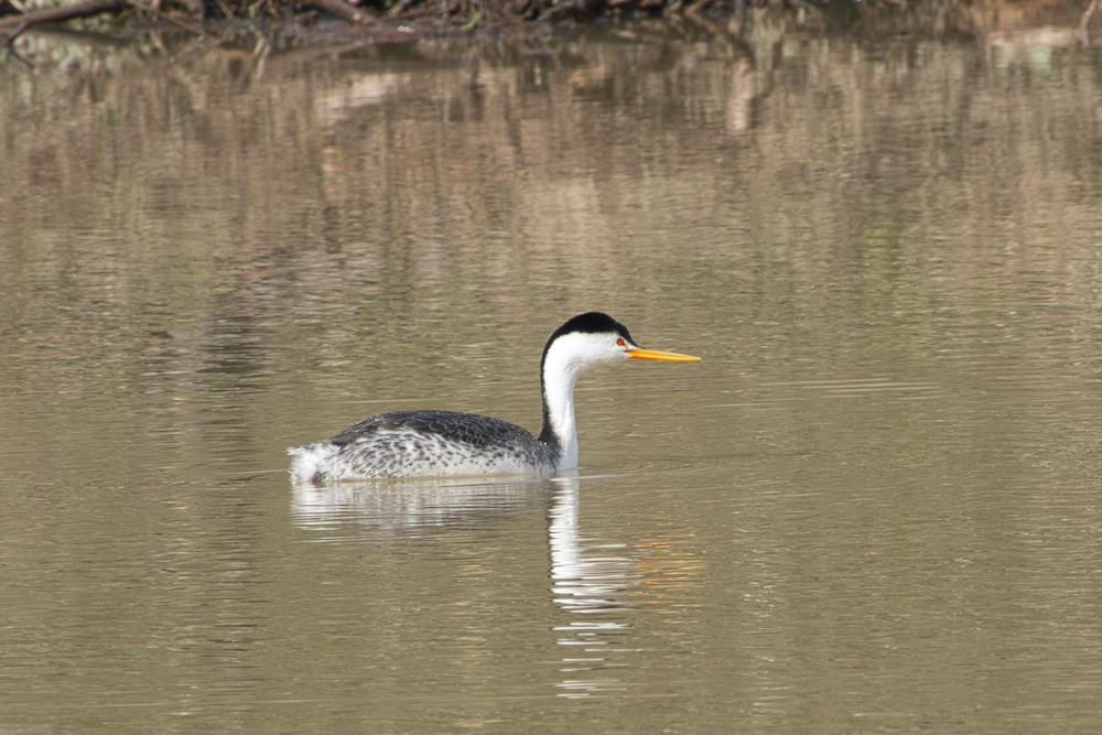
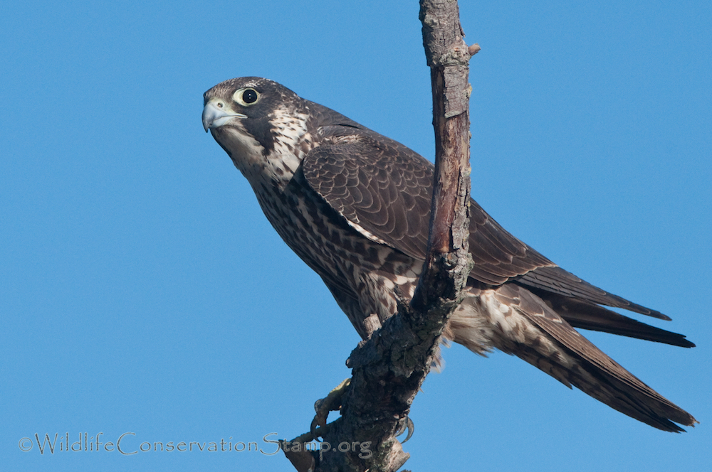
These two unique locations that are part of the US Army’s Corp of Engineers, Black Butte Recreation Area. This recreation area is a great spot for migratory and residential birds, and in particular a good variety of waterbirds.
Newville Ponds, located north of the lake, are fed water through Black Butte Lake’s dam system that regulates lake levels and flow of Stoney Creek. This time of year, the dam releases are controlled for flood conditions. With our recent wet weather, several acres of developed wetlands should have formed making this area ideal for many varieties of waterbirds.
Buckhorn Campground, primary access of Black Butte Lake’s western shoreline, is heavily forested with blue oak habitat for several acres where many woodpecker and song bird species should be found nesting. The beach and lake areas are often filled with Gull, Grebe, and Shorebird species. Occasionally, we find Rock Wren and Swallows along the boat launch and draws to the south parking lot.
Entrance fees are $10.00 per vehicle, but federal annual and lifetime passes are honored at this Recreation Area. We always recommend carpooling. I will be leaving early from Red Bluff and if there is 1-2 people that would like to meet me for a ride from my location, please contact me by email at least two days before trip. danbye56@gmail.com
We recommend that you bring snacks, lunch, and plenty of water. Newville Ponds should be minimal walking which depends on water levels and accessibility. The best way to view Buckhorn Campground is walking through the many paths along campsites and woodland areas, so bring appropriate footwear. Birders from Redding will carpool from Kutras Park at 6:30am sharp.

