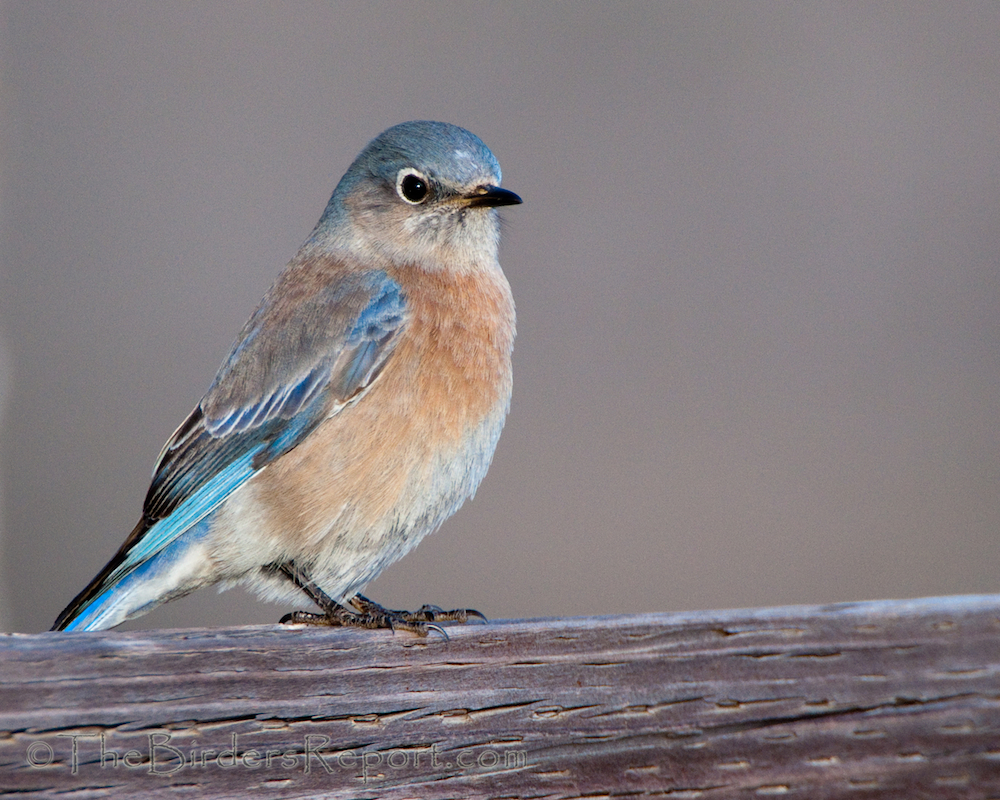
Join Education Chair Tricia Ford for a bird walk around Cascade Park on Thursday, November 10 at 9:00 am. This 27-acre park is located at the end of Girvan Road east of Highway 273 and borders the Sacramento River at the confluence of Olney Creek. The paved trail has several dirt paths, providing access to the river and the mouth of the creek. This will be the second in a series of eight walks, one per month from October through May, exploring bird watching in the parks and trails operated by the City of Redding. The theme of this walk will be the importance of mistletoe to birds of the oak woodland. The easy 1-mile walk will take about two hours. The park has restrooms and a drinking fountain. For more information, email triciathebirdnerd@gmail.com.
Tag Archives | Sacramento River
Clear Creek Wastewater Treatment Plant
We are again scheduling a visit to the ponds targeting wintering waterfowl and very early migrating shorebirds. We hope that the winter rains will provide abundant open water and muddy shorelines for these species. Assemble at the Treatment Plant’s Administration Building at the end of Metz Road at 8:00 am to meet your leader, Larry Jordan. This is a 1/2-day trip that may end in the early afternoon if the birding is good. Directions to the Clear Creek Plant: Take Hwy 273 and look for River Ranch Road after crossing Clear Creek. Cross over the Railroad tracks and turn left on Eastside Rd. Entrance is on Metz Road on the right.
*All participants, ages 5 and older, must provide proof that they are fully vaccinated against COVID-19 or provide evidence of a negative COVID-19 test within 72 hours prior to the field trip. Participants must practice social
distancing when outdoors on field trips and must wear masks and practice social distancing while indoors. Participation is not currently allowed for persons under the age of 5.
Family/Beginner Bird Walk at Turtle Bay
We invite beginners of all ages and experienced birders to our introductory walks on the first Saturday of each month. Waterfowl, passerines and raptors can all be found at Turtle Bay and the surrounding area which includes the Sacramento River and surrounding riparian habitat. The walks begin at 9am and meet in the parking lot near the Monolith structure at the South end of the Sheraton Hotel. Binoculars and field guides will be available to loan. Call Roberta Winchell, 530-945-8342, for more information.
Resolving a Regulatory Challenge While Enhancing Wildlife Habitat and Creating an Amenity for the Community
When Rio Alto Water District’s National Pollutant Discharge Elimination System (NPDES) permit came up for renewal in 2010, Rio Alto WD discovered that under its current operating conditions it would not be able to meet strict new effluent limits for zinc and disinfection products. Faced with a Cease and Desist Order from the Central Valley Regional Water Quality Control Board, the district immediately went to work to find a solution to the problem. After reviewing eight alternatives, Rio Alto chose to make improvements to the wastewater treatment plant and remove our discharge from the Sacramento River by creating wetlands for land disposal.
The project was not the least expensive alternative reviewed, but it was felt that it was the best long-term solution to ever increasing regulations with the river discharge. The project was funded by low interest loans from the State Revolving Fund and USDA Rural Development. Securing that funding involved forming a Community Facilities District which required a two thirds voter approval to assess a special tax. Through community outreach the district gained voter approval and construction began in 2014. The district purchased 78 acres located within the Pacific Flyway and constructed four ponds. One pond was amended with bentonite to retain water for aesthetic purposes. Over two miles of walking trails were constructed around the perimeter of the ponds and benches and tables were installed for visitors. A two mile pipeline was constructed from the wastewater treatment plant to wetlands. The project was not without challenges, our environmental budget ballooned from $60k to $500K, and we suffered erosion on the levies from two atmospheric river storms. Fortunately, the district was able to secure a Proposition 84 grant from the California Department of Water Resources and a grant from USDA Rural development to cover the cost of rocking all the levies and the environmental mitigation costs.
PG&E was kind enough to move an osprey nest from an active power line to a dedicated pole within the wetlands facility. Construction was completed and the district held a grand opening for the wetlands and walking trails in May of 2016. The community has really taken advantage of the walking trails and forward pictures of the visiting wildlife. Located within the Pacific Flyway, the wetlands provide a nice layover for migrating birds and waterfowl. The wetlands are currently providing habitat for many geese, ducks, killdeer, swans, heron, meadowlarks, sparrows, blackbirds, egrets, grebes, pelicans, osprey, rabbits, deer, coyotes, and even a river otter. The district is approaching local schools for tours of the wetlands to educate the younger generation on the benefits of recycled wastewater use and the benefits of increasing our habitat for wildlife.
Second Saturday Bird Walk at John Reginato River Access Trail
This trail leaves the parking lot of the John Reginato Boat Launch on the west side of the Sacramento River off South Bonnyview Road. Good views of the Sacramento River are afforded on this short trail as it traverses a mixed riparian woodland. We should see a variety of winter resident passerines and waterfowl and possibly a few late leaving summer residents. Assemble at the small parking area at the corner of Washington Ave. and Park Marina Drive for carpooling and last minute instructions. This ½-day walk is open to the public and all birding skill levels are welcome.
