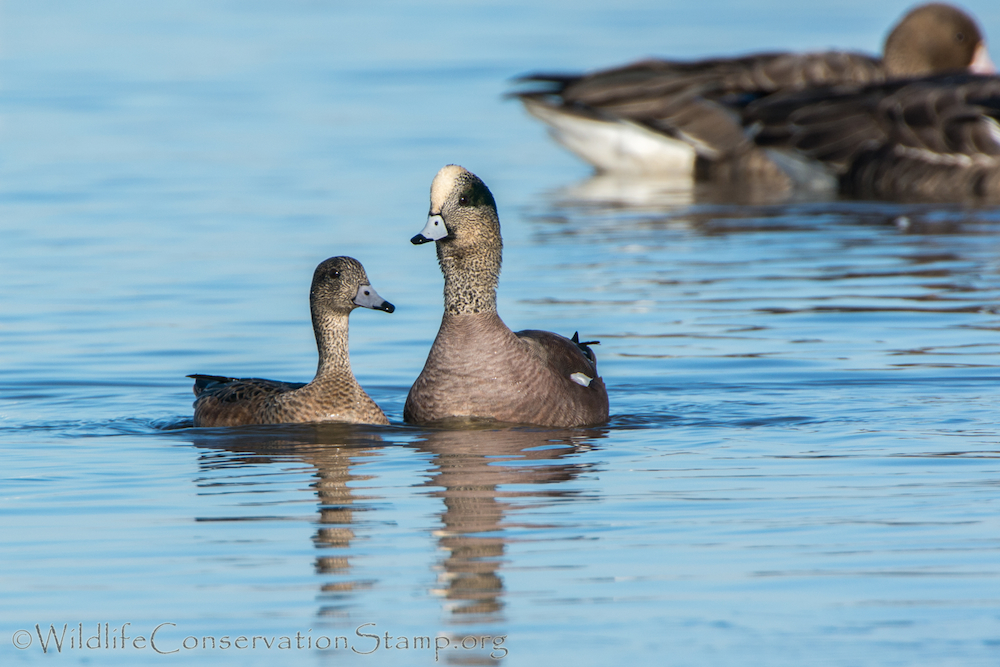
Join your trip leader, Larry Jordan, for a morning walk through Turtle Bay Bird Sanctuary. Meet at the parking lot south of the Monolith at 7:30 am. We will explore the ponds along Highway 44, followed by the forested areas in the Bird Sanctuary and along the Sacramento River, searching for early migrants and waterfowl. Contact Larry Jordan at webmaster@shastabirdingsociety for more information.

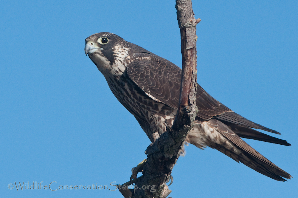
Join us for a walk in the shade of the big oaks along this Sacramento River trail. This is a great place to see a large variety of the year round resident birds like wrens and towhees in the dense, shrubby vegetation, various woodpeckers in the oaks, and birds of prey on the open river – eagles, osprey, and if we’re lucky, maybe a Peregrine Falcon. This time of year we expect migrating warblers as well.
Meet at 7:30 am Saturday morning, September 14th, at the canoe, kayak and raft launch at the John Reginato River Access at 3810 South Bonnyview Road. This area is also known as the South Bonnyview boat ramp. We will spend about two hours walking less than two miles on a rocky path with river cobblestones. Hiking boots are recommended. There is a port-a-potty at the boat ramp.
Contact trip leader Larry Jordan at webmaster@shastabirdingsociety.org for more information.

Join Shasta Birding Society for a bird walk around Lema Ranch on Saturday, November 2nd at 7:30 am. We will be birding the oak woodlands and ponds at the Ranch on fairly level paved paths. We will bird Leah’s loop beginning at the main parking lot. This two mile paved trail overlooks Secluded Pond and Hidden Pond. The trail offers excellent views of Lema Pond, the largest pond on the site, and Leah’s Pond. We expect some late summer birds as well as migrants and a variety of waterfowl. Park and meet your leader, Larry Jordan at Lema Ranch main parking lot at 610 Armando Avenue off Hemingway Street. Questions? webmaster@shastabirdingsociety.org

Location of where we will meet: 1000 Sale Lane, Red Bluff, CA. at the upper-level parking lot. South end of Sale Lane next to the Sacramento River Discovery Center.
Walking distance estimated at 2-2.5 miles (3-4 km)
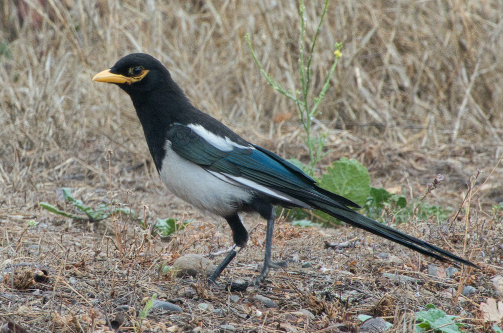
Please join us on a journey with many trails at this very diverse public land with no fees. Sacramento River bisects 488 acres, at this Recreation Area of riparian forest, flowering grasslands, wetlands, and oak woodlands providing very diverse natural viewing experiences. This location is Tehama Region’s number one eBird’s hotspot. Ideal spot for migratory species in the fall and spring seasons. Also, a great home for many varieties of Sparrows, Warblers, Wrens, Woodpeckers, Waterfowl, and Wading Birds. Both the Acorn and Nuttall’s Woodpecker, California and Spotted Towhee, House and Bewick’s Wren, Yellow-billed Magpies and Phainopeplas are often found here year-round.
Recommend that you bring comfortable rugged footwear, plenty of water, snacks, and insect repellant.
Trip Leader: Dan Bye, contact me by danbye56@gmail.com for more information.

We are again scheduling a visit to the ponds targeting waterfowl, shorebirds and migrating warblers. Assemble at the Treatment Plant’s Administration Building at the end of Metz Road at 7:30 am sharp to meet your leader, Dan Bye. This is a 1/2-day trip that may end in the early afternoon if the birding is good. Directions to the Clear Creek Plant: Take Hwy 273 south, after crossing Clear Creek and past the Win-River Casino, take the second left turn at River Ranch Road and cross over the railroad tracks. Turn left on Eastside Rd. Entrance is at 2200 Metz Road on the right. Questions?  danbye56@gmail.com


