Location of where we will meet: Parking area at 24411 Coleman Fish Hatchery Rd, Anderson, CA 96007 – Drop Pin Coleman Fish Hatchery
Walking distance total estimated at 2-3 miles (3.5-5 km)
We will walk through sections of the fish hatchery and exit at the west gate to enter Battle Creek Salmon Trail. This 1.4-mile path will provide great access around ponds and views along Battle Creek with exceptional sections of riparian habitat.
We will quickly enter Battle Creek Wildlife Area where we will join the Oaktree Trail for an additional 1-mile walk through large tracts of oaks, willows, and many other native and non-native plants and trees. Under ideal conditions, we should see many waterbirds, raptors, and passerines within this 582-acre area of exploration.
One vehicle will be staged at parking area of Battle Creek Wildlife Area, and drivers will be shuttled back to Coleman Fish Hatchery parking lot and pick up others at the end of our walk.
We will reschedule if rained out.
Trip Leader: Dan Bye, contact me by email at danbye56@gmail.com for more information.

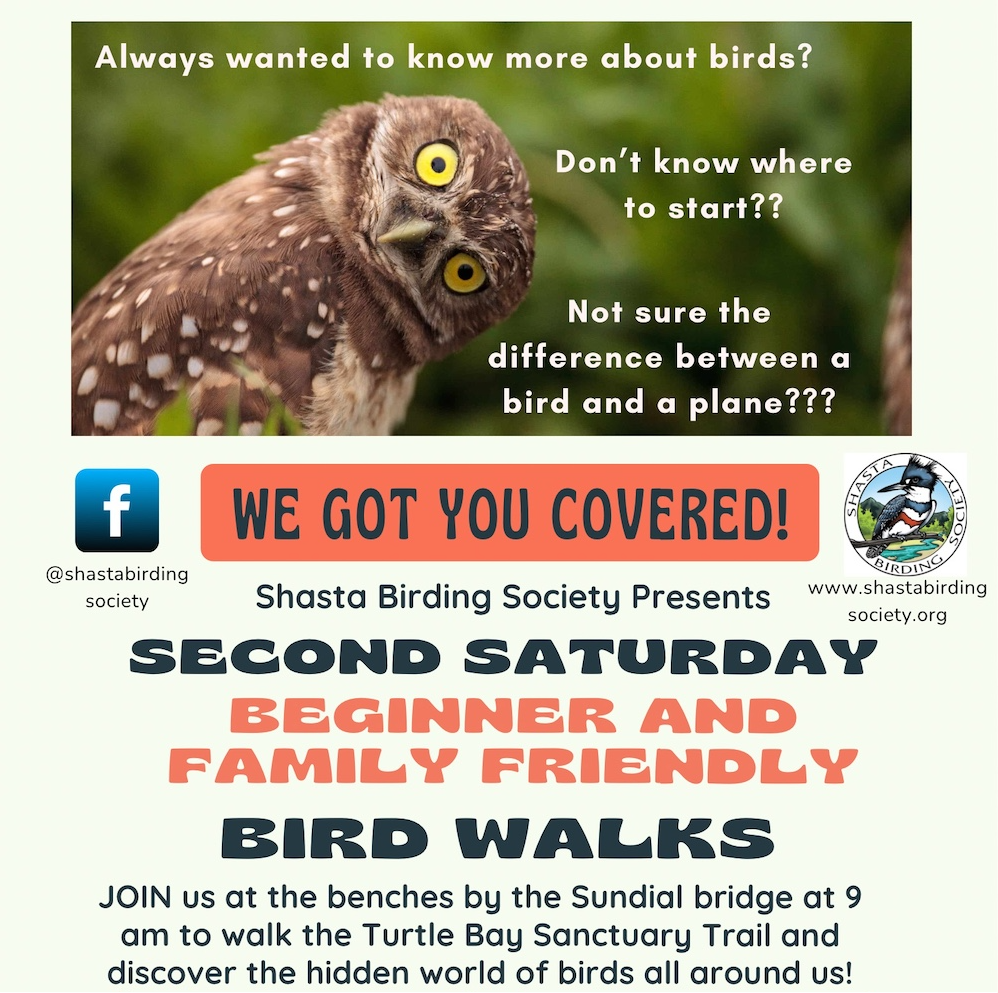
Always wanted to learn more about birds but not sure where to start? Join Shasta Birding Society for a family and beginner friendly bird walk at the benches by the Sundial bridge at 9 am and discover the hidden world of birds all around us! We will start birding across the iconic Sundial Bridge and continue inside the botanical garden. The trail is wheelchair accessible and benches are found throughout. The walk will last about 1 hour. Binoculars are provided. Join our trip leader, David Garza and other local birders, as we take a leisurely one mile walk though one of Redding’s best birding hotspots. This walk will begin at the south end of the Sundial Bridge and take us north, across the Sacramento River to view waterfowl, woodpeckers, raptors, sparrows, and more. From the bridge there are excellent views of the river and surrounding mountains. On the other side of the river, and throughout the botanical garden, we will be able to find several species of songbirds. Raptors are common in the area, including the Bald Eagle and Osprey. Early autumn is a great time of year to find migrating birds passing thought the area, before they head further south. Park in the Turtle Bay Parking Lot. Rain cancels. Want more information? Contact Larry Jordan at thelarryjordan@gmail.com

THIS OUTING HAS BEEN CANCELLED DUE TO RAIN

Big Day Birding Adventure – to see birds of our Northern California Coast
Our Big Day Events outside of Shasta County is a great chance to see birds that are not typically seen in our immediate area. This is also an opportunity for migrants and variants that travel the coastal route during the fall migration as we visit the North Spit Jetty, Arcata Marsh, and everything in between.
Our predawn departure will start at 5:30 am sharp. We will all meet prior to departing at the Civic Center Auditorium Parking Area at the Monolith Section for a group caravan from Redding to our first destination of North Spit Jetty. We will make one planned rest stop near Willow Creek.
Humboldt Bay–North Spit Jetty: (Weather permitting) 9:00 am, is our estimated arrival time to the unique location to view shore and surf birds. We will tour the jetty and beaches for 3 hours, eat our lunch, and then head towards Arcata Marsh with some stops along the way.
Arcata Marsh and Wildlife Sanctuary: 1:00 pm is our estimated arrival time There will be plenty of opportunity to stretch our legs by walking the trails or take a short drive to viewing areas of the marsh at the sanctuary. The high tide is 2:15 pm for our planned visit. Our estimated departure time from the Marsh is 4:00 pm. We will look for somewhere to grab a meal with possible drive through access.
Carpooling is highly recommended. Contact me by email with a message in the subject line ‘Arcata Carpooling’ if you are interested in going and can provide a ride or need a ride. We will do our best to match riders together with drivers, but there is no guarantee. Please pack a lunch, plenty of snacks, comfortable footwear, extra socks, full water container, sunscreen, insect repellant, and your field optics.
We estimate a return back to Redding between 7:30 – 8:00 pm.
Contact info: danbye56@gmail.com

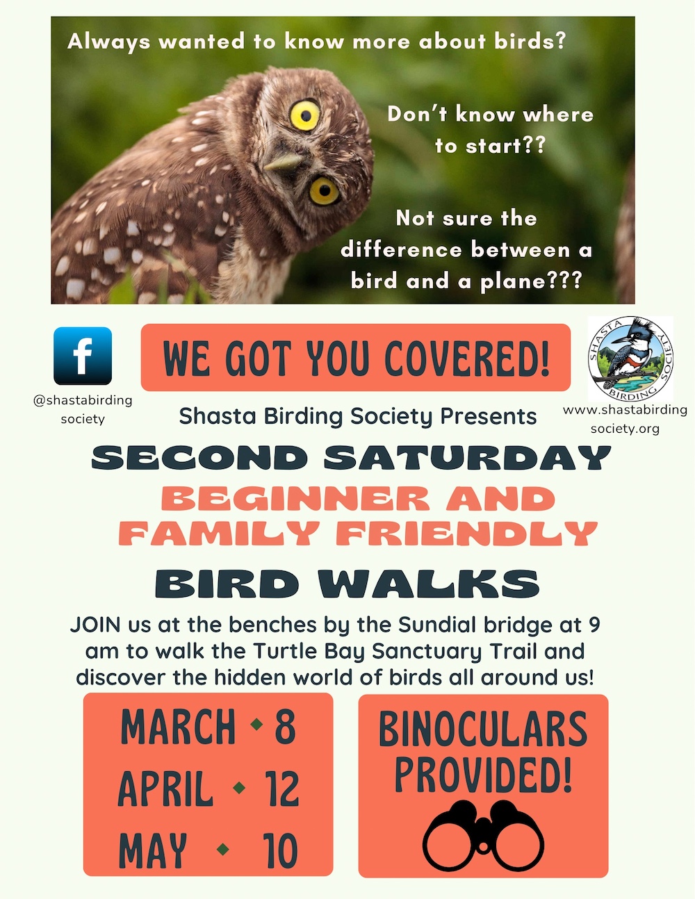
Always wanted to learn more about birds but not sure where to start? Join Shasta Birding Society for a family and beginner friendly bird walk at the benches by the Sundial bridge at 9 am to walk the Turtle Bay Sanctuary Trail and discover the hidden world of birds all around us! The trail is wheelchair accessible and benches are found throughout. The walk will last about 2 hours. Binoculars are provided. Join our webmaster, Larry Jordan, as we take a leisurely one mile walk along the Turtle Bay Sanctuary Trail. This walk will begin at the south end of the Sundial Bridge and take us along the Sacramento River to view waterfowl, woodpeckers, raptors, sparrows, an more. One of the best attributes of this trail is that we cannot only enjoy the excellent views along the river, on the other side of the trail we will be able to find several species of songbirds. Raptors are common in the area, including the Bald Eagle and Osprey. Park in the Turtle Bay Parking Lot. Rain cancels. Want more information? Contact Larry Jordan at thelarryjordan@gmail.com

Always wanted to learn more about birds but not sure where to start? Join Shasta Birding Society for a family and beginner friendly bird walk at the benches by the Sundial bridge at 9 am to walk the Turtle Bay Sanctuary Trail and discover the hidden world of birds all around us! The trail is wheelchair accessible and benches are found throughout. The walk will last about 2 hours. Field guides and binoculars are provided. Join our webmaster, Larry Jordan, as we take a leisurely one mile walk along the Turtle Bay Sanctuary Trail. This walk will begin at the south end of the Sundial Bridge and take us along the Sacramento River to view waterfowl, gulls, egrets and herons. One of the best attributes of this trail is that we cannot only enjoy the excellent views along the river, on the other side of the trail we will be able to find several species of songbirds. Raptors are common in the area, including the Bald Eagle and Osprey. Park in the Turtle Bay Parking Lot. Rain cancels. Want more information? Contact Julie Doerr at millvillemurphs@gmail.com


